Improving Capacity on Integrated Coastal Management with Low Impact Development Considering Environmental Sustainability and CLID
Background
Climate change has become a global concern affecting the resilience of the ecosystem and urban areas. Cambodia is located in the most vulnerable zone to be affected by climate change. Climate change would drive the change in natural disasters to be more severe in the forms of their risk and hazard. The extreme rainfall is expected to increase its frequency and intensity leading to flood inundation and other extreme weather events, particularly in the urban area. Moreover, global warming that will cause sea-level rise would also pose another threat to the coastal area. Thus, appropriate and effective preparation and planning should be taken into consideration for master plan preparation in the urban area to minimize the possible risk due to climate change.
The LID practice is to integrate watershed management strategy by providing natural retention, treatment, and source protection capabilities. The utilization of appropriate modeling tools could provide indicator to evaluate the performance of LID as guidance for effectively design phase and decision-making.
Overall Objective
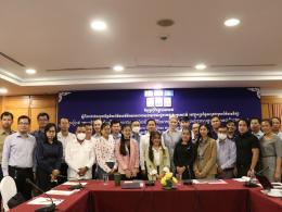
The overall objective of the project is to support the integration of best practices in LID with urban planning process through scenario evaluation platforms, workshops, and instruction materials that involve the participation of city planners, policymakers, practitioners, and citizens.
Specific Objectives
1. To develop resources to support the decision-making process (in the analysis of the suitable LID scheme to implement and integrate into the urban planning process in the coastal area of Cambodia);
2. To improve the participation of urban residents in evaluating suitable LID and its practices for the urban environment;
3. To support dissemination of best practice in the integration of LID in urban planning process focused on climate change mitigation and adaptation and efficient water management; and
4. Foster knowledge exchange forum among academia, urban planners, practitioners, decision-makers, and local people through a discussion forum in the dissemination workshop.
Approach
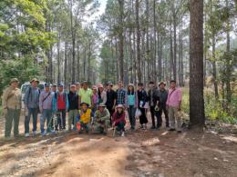
The approach of the current project is to investigate the possibility of applying LID in coastal areas of Cambodia. Four study areas are selected for the focus of this project, namely Koh Kong (Khemara Phumin city), Sihanouk Ville, Kampot, and Kep. The first goal of the project is to develop scientific evidence based on modeling tools to support the LID concept. Thus, the storm water-modeling framework is employed as a tool to analyze the response of infrastructure in the urban area to the urban land-use and climate change scenarios. To obtain a good modeling framework for the above-mentioned scenario analysis, the model set up and calibration in the study areas. This process requires good quality input data to the model and modeling skills of the team. Therefore, the project activities also connect with on-site data collection and as well as secondary data collection from different sources including relevant ministries and freely available datasets from global data. Furthermore, the outreach of the project results and capacity building for the related national and local authorities is included in the project.
Outputs and Key Activities
| Result | Key Activities |
|---|---|
|
|
Knowledge Products
• Policy briefs • Sea-level rise inundation map • Climate modeling tools • Workshops and training materials
| Timeframe | Total Budget | Partners | Location |
|---|---|---|---|
| September 2021–December 2023 |
220,340 USD 149,940 USD (CCCA) |
Institute of Research for Development (IRD) Kyoto University (KU) Royal University of Agriculture (RUA) |
Koh Kong, Preah Sihanouk, Kampot and Kep Province |


